 |
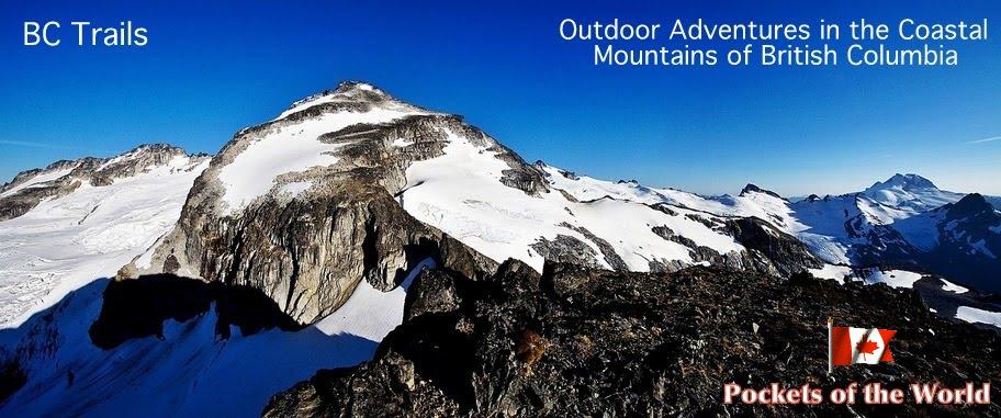
| Lions, Mt Harvey and Horseshoe Bay from the summit |
Location: Lions Bay, Sea to Sky Corridor
Driving Time: 40 minutes from West Vancouver
Ascent Time: 4 hours
Complete Time: 7 hours
Start Elevation: 220 m
Max Elevation: 1790 m
Gunn Scramble #9
Mt. Brunswick is very popular ascent along Sea-to-Sky corridor -- many people rate it as their favorite! Having already done two other trails from Lions Bay (Mt. Harvey and Binkert/Lions Trail), I decided to head up Brunswick on this sunny August day. In particular I was curious about the "moderate" portion of the scramble; when comparing Alberta and BC Scramble books I generally find M. Gunn ratings to be about half a notch easier. This perception held true: most of the ascent is just a steep slog, and crux upper ridge was quite easy. (For comparison I think Heart mountain near Canmore is more difficult!)
Getting to the Trailhead is straightforward (after you eventually manage to get out of Vancouver that is!). Heading north along Sea-to-Sky (Hwy 99) it takes about 20-30 minutes from Horseshoe Bay. Now that all road improvements for 2010 Winter Olympics are history, the drive is quite fast and very scenic. Taking Lions Bay exit, I followed directions from the book and drove up to the trailhead, but could find no parking space even if it was mid-week. I turned back and managed to park on the shoulder about a kilometer down the road. I was grateful; otherwise I'd have to park at the usual "overflow" parking next to the Lions Bay elementary school, which would add extra couple of 100's of altitude. I started hiking at 1:15 pm.

BC Parks Kiosk in Lions Bay Trailhead. Initial part is up wide switchbacking forestry logging road that can be steep at times. Some people bring their mountain bikes for that part. Since I generally suck in biking uphill, I decided to head up on foot -- but I can see how return trip can be cut in more than half with a bike. It is a viable option.


 Elevation gain and switchbacks soon resumed, but the trail was still suitable for mountain bikes. 1 1/2 hours into the hike I reached this clearing with great views west to Howe Sound. Bowen Island just right of center (Photo taken on return). This is the place to leave the bike as the trail reverts to single track here and becomes brutally steep with plenty of trademark rocks and roots.


 Crux on Mt. Brunswick -- 20 or so meters of narrow and exposed ridge. Most of it can be bypassed on the right (south), and except for one slightly awkward move is not a problem.


For descent I simply retraced my steps. It was much shorter, but quite hard on the knees -- about 1500 vertical! Final impressions on the quality of this scramble are mixed: Upper part offers some outstanding views and enjoyable scrambling, but rest is just steep, forest enclosed slog -- matter of fact for most North Shore mountains. Although I am enjoying it now more and more, I still have problems adjusting to the fact that in Alberta this would be the elevation to climb Mt. Temple -- with open views the entire way. I guess I am just not a big fan of hiking in the woods. Nevertheless Brunswick is worthwhile ascent and in my opinion offers better views than either Harvey or the Lions.
Here are the stats from my GPS -- this is the first scramble I used my Garmin I bought in Calgary few weeks before (no government robbery a.k.a PST in Alberta). Plenty of waypoints, that are completely not necessary; I was playing and learning how to use my new "toy"!
 |
| GPS Waypoints |
 | |
| Vertical profile -- best indicator of steep slog that awaits! |