Friday, December 31, 2010

St Marks from Cypress Bowl (1360 m)

Howe Sound from St. Marks Summit

Location: Cypress Provincial Park
Driving Time: 1 hr each way from metro Vancouver
Ascent Time: 2.5 hrs
Complete Time: 4.5 hours
Start Elevation: 940 m
Max  Elevation: 1360 m


Howe Sound Crest Trail is highline traverse from North Vancouver to Porteau Cove along Sea-to-Sky heading to Squamish. 30 kilometers in length, it is usually done as 2-3 days backpack trip. Heading north from Cypress Bowl Ski area the first significant landmark is 1360 m high bump called St. Marks summit. It is about 6 km one way from Cypress which makes it excellent half-day objective.

I hiked this part of HSCT in late spring of 2010. On that occasion I made it full day hike and went all the way to Unnecessary Mountain -- about 1 hour further north from St. Marks. On this last day of 2010 I thought I'd try my new showshoes and see if I can make it to St Marks -- I remembered excellent views of Howe Sound and peaks of Sechelt peninsula. The weather was exceptionally good, calm with no wind and sunny. I knew North Shore Hikers went here few days ago -- so I'd not have to break the trail. Usual late start -- I can't seem to be able to get out of bed before 10 am these days -- brought me to Cypress Bowl around 12:30 pm. Lots of people as usual, but I was able to park not too far away from the trailhead. I started hiking around 12:35.


Starting up on HSCT above Cypress Bowl. It is major challenge to find your way through maze of ski runs. I even got yelled at by some ski-instructor for "trespassing on private property !???". Good thing I am familiar with the area from my summer trips; I just charged up through the forest aiming to reach giant water tank. From there the trail was clear and soon I was on my way north. On the way down, I went straight down ski-run; few snowboarders zoomed past me, but no problems otherwise.


Bowen Lookout fork about 30 min from the start. Real backcountry experience starts here. Trail signs are almost burried -- it is amazing how much snow North Shore Mountains get!


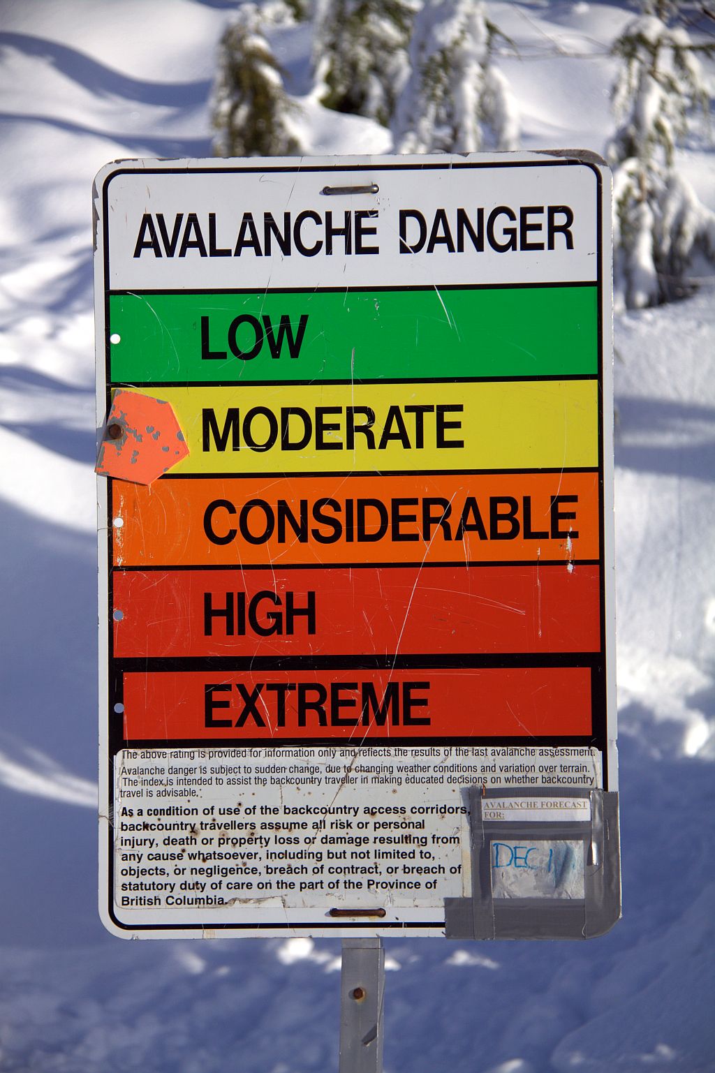
Strachan Meadows about 45 minutes from the start with view to both summits of Mt. Strachan. The ascent route splits from HSCT about here and heads up Christmas gully in the center heading to low saddle between twin summits. I went here in October 2008, but in winter there is considerable avalanche risk -- depending on snow conditions.


Few minutes beyond Strachan meadows elevation gain started. The trail was very good and in general I had little problems switchbacking up forest enclosed slopes. There were a couple of steep sections, but my new showshoes gave me pretty good grip. Finally about 2.5 hours into the hike I arrived to St. Marks lookout. Great view of the Lions waited. Unecessary mountain -- my June 2010 trip -- is the bump in center left.


Fabulous late afternoon views from St. Marks across Burrard Inlet towards Vancouver Island. It was calm with no wind; using my outer shell jacket and backpack I made myself nice nest and enjoyed lunch break soaking up the views. Horseshoe Bay center left, Bowen Island right.


Telephoto of peaks on Sechelt Peninsula to the west: Tetrahedron, Panter, Rainy and Varley. I tried to climb Tetrahedron in summer of 2009, but failed because I was physically and mentally unprepared for horrendous bushwack. One of rare failures in my peak bagging career in western Canada; to this day it still bothers me. Trip report is here -- but it shows only high alpine glory, none of terrible bush bellow!


Lions telephoto: East Lion (right) is class 5 roped alpine climb. West Lion (left) is dangerous and exposed scramble; approach is usually via popular Binkert Trail from Lions Bay along Sea-to-Sky.  It takes about 2 hours to get to the base of Lions from St. Marks, making approach from Cypress along HSCT less direct route.


Few more peaks from St.Marks: Tantalus range (left) and Cathedral (right). Cathedral is my big goal for 2011. It is very challenging and I'll need 2 days for it; I plan on spending the night right there on the summit!


One last panoramic shot from St. Mark summit. Couple of photos stiched together for this fabulous view west across Howe Sound. Bowen Island left; Sechelt Peninsula upper center, Tantalus range to the right.


I started heading back at 3:30. Days are quite short at this time of year; I had to hurry if I wanted to make it back to Cypress at daylight. I was down to Strachan meadows just as the sun was setting with last rays putting the mountain on fire.

I really enjoyed this short hike; it will become quite regular outing while I am still in Vancouver. If you are here in winter months, give it a try on calm, sunny day such as this one!

Friday, December 17, 2010

Mt. Hollyburn from Cypress Bowl (1445 m)

Mt. Hollyburn Summit Panorama

Location: Cypress Provincial Park
Driving Time: 1 hr each way from metro Vancouver
Ascent Time: 1.5 hrs
Complete Time: 2.5 hours
Start Elevation: 995 m
Max  Elevation: 1445 m


End of year is typically rainy and gloomy in Lower Mainland. Days are short, and opportunities for outdoor adventures are limited. Sunny days are rare, but they do happen. When skies cleared up nicely on Friday, North Shore mountains looked so inviting plastered in white -- I simply had to get out. Mt. Hollyburn seems to be tradition -- I've been up every December since I moved to Vancouver. I also knew I won't be needing snowshoes - the trail is wide and snow usually hard packed. Cypress Mountain is BC Provincial Park; getting there is quite easy. Driving west along Trans-Canada (Hwy 1) towards ferry terminal in Horseshoe Bay you take exit 8 and head up paved road to Cypress Bowl, some 15-20 minutes and 16 km from the Highway. Hollyburn trailhead is about 1 km before the end of the road to the right.


Trailhead in Cypress Bowl. The summit is visible in upper left. This is extremely popular trip year round, because of proximity to metro Vancouver. On weekends it is super busy -- elbow space is hard to find! However it is quite acceptable as short afternoon hike during the week -- even then don't expect to have the mountain to yourself!


Avalanche is big issue in BC Coastal Mountains. It is hard to expect any real danger in simple tourist trail on Mt. Hollyburn, but accidents do happen in the backcountry. See this Club Tread Post


Most of the trail is enclosed in forest, but views occasionally open up. Here we see long ridge to the east leading from Crown Mountain (right) towards Cathedral (left). I've been up Crown in October 2009 -- moderate scramble from Grouse area, but Cathedral is different story. Not desperate technically, but lots of bush and approach logistics. Usually done via Mt. Colliseum and Burwell from Lynn Headquarters area.


 Baden Powell Trail Sign, buried in snow, some 40 minutes into the hike. This picture is best indicator how much snow North Shore mountains get! Baden Powell trail is about forty-eight kilometres long, extending (west to east) from Horseshoe Bay in West Vancouver to Deep Cove in the District of North Vancouver. In between, the trail winds through the heavily forested North Shore Mountains. It also connects with several other local trails. It is quite popular; more details can be seen at BC Tourism Web Site


 Final part of the Trail is a bit more steep, but not really difficult. Summit plateau at around 1440 m altitude is wide and offers 360 degrees panoramic views. Here we see Sky Pilot -- one of toughest, and most prized scrambles along Sea-to-Sky corridor. Diamond Head in Garibaldi Provincial Park to the left in the distance; remote peaks from Whistler area to the right.


 View north towards East Lion from the summit. Everybody climbs (and few die as well!) climbing West Lion, but East Lion is out of reach for most people. Apparently not harder than stiff class 4, or low class 5 on this Report

Saturday, December 4, 2010

Mt Seymour Winter Hike to First (Pump) Peak (1455 m)

Winter Wonderland on Mt. Seymour
 
Location: Mt. Seymour Provincial Park
Driving Time: 1 hr each way from metro Vancouver
Ascent Time: 2 hrs
Complete Time: 3.5 hours
Start Elevation: 1020 m
Max  Elevation: 1455 m


This part of year the the weather is usually dark and gloomy for days, with what seems like never ending rain... However, Saturday, December 4 2010 was clear and sunny with clean air and high visibility.  I probably should have gone somewhere further, but Seymour is so close which is convenient on days when sun sets so early. So off I was out of my condo on Granville Island around 12:30 pm heading east along Broadway. Usual congestion at intersection with Commercial Drive ---  one of "benefits" of liberal (or socialist) environments is never-ending construction everywhere --- still didn't manage to ruin my mood and Tang-go by Tangerine Dream helped pass the time.

I stopped at Parkgate Village strip mall and had a burger at A&W, before driving up Mt. Seymour road. Snow started around 700 altitude, but the pavement was clear and soon I was up looking for parking spot. I knew Seymour was popular, but I didn't expect that many people -- I had to leave my car on the shoulder of the road about a kilometer bellow the parking lot!


The air was colder than expected, but clear. I elbowed my way past human hordes and soon I was heading up normal winter snowshoeing trail towards triple summits of Mt. Seymour. I had no idea how far I'd go, but at minimum I wanted to get to Brockton Point for some late afternoon views. It was true winter wonderland with icicles hanging from snow laden pine branches


Most people stopped at Brockton point. I was only in hiking boots (no snowshoes), but the snow was hard packed and I was able to walk quite fast. In the distance I saw people on the summit of Pump peak, so I knew it can't be bad and I decided to continue. Soon I arrived to the end of snowshoeing trail with all kinds of silly warnings


Beyond this the trail diverged into series of individual tracks. I decided to follow the group of 5-6 Asians contouring west --- the slope under Pump peak was too steep to climb directly (some big rock outcrops here, but covered by snow).  Even in hiking boots it was quite easy and in some 30 minutes after I left Brockton point I reached the bowl under Pump Peak (around 1400 m altitude)


I did not linger long on the summit -- cold wind was going through my tuque and freezing my ears. This was my 5th time here, but first time in the winter -- I absolutely loved it!


Late afternoon sun created this sublime view towards Golden Ears. My 18-200 lens is quite crappy on zoomed focal distances, but this one still turned out nice (with some editing). L-R: Golden Ears, Edge Mountain and Blanchard Needle


There was still about an hour of daylight left, so I decided to drop in the bowl between first and second peak to seek some shelter and eat my Capers wrap and apple I brought for lunch. I regretted not starting earlier because second peak would be an easy 20 minute walk from here


Looking back towards Pump peak, late afternoon sun created some spectacular light and great photo conditions


I was amazed by amount of snow -- hiking trail sign was almost buried. I think North Shore mountains receive much more snow from the Rockies


At this point it already started getting late. I brought flashlight, but I really didn't feel like coming down in dark yet again so I decided to head back. Coming down I charged straight down steep slope under Pump peak, and took a break halfway down to enjoy views of the sun setting down on Georgia Strait


From this point it took me about 45 minutes down to the parking lot, and another 15 down the road to my car. Total hiking time was about 3.5 hours, short but very much worth. I made promise I will come back again that winter to hike all 3 peaks

Saturday, October 16, 2010

Needle Peak of Coquihalla (2090 m)

Summit View towards Coquihalla Hwy and Yak Peak

Location: Coquihalla Hwy east of Hope
Driving Time: 2 hr 40 min from metro Vancouver
Ascent Time: 3 hours
Complete Time: 5.5 hours
Start Elevation: 1220 m
Max  Elevation: 2100 m

Gunn Scramble #14
 

I planned to climb Coquihalla Needle earlier in July, as "side trip" during my drive east to Glacier NP, Montana. But at least minute my friend Greg from San Diego invited me to visit in Anacortes, WA -- so I drove east along I-90 instead (with some great camping and hiking in Cascades east of Seattle). Needle had to wait. Finally when gorgeous, and possibly one of last spells of dry and sunny weather came to lower Mainland in mid-October I decided to finally knock it off the list.

Needle is not difficult or long outing. But the drive is. Getting out of Vancouver takes forever, which is followed by boring stretch against the sun for about an hour to Chilliwack (where the gas is usually 10 cents cheaper than in Vancouver!)  After that the road gets more interesting, specially as you head along Coquihalla east of Hope. Two and a half hours since I left Vancouver I arrived to the Zapkios rest area -- exit was not easy to identify, to which M. Gunn book warns -- I almost missed it. Best thing is to keep an eye on two large gravel sheds to the right; Yak peak is almost directly across the road to the left.


Google Earth view of the route. First part, steep climb out of the forest (about 35-40 minutes and 300 vertical) is out of picture to the right. From there the trail follows gentle shoulder towards wide, windswept pass  west of the summit from where long ridge is followed to the summit.


Several other cars were parked at gravel sheds, which told me I was on the right spot; but there was no obvious trailhead. After some searching I realized that you have to backtrack for some 5 minutes (on foot) along side trail that parallels the highway. There I saw BC Parks table identifying the start of Needle Trail


Yak peak across Coquihalla Hwy from the Trailhead. It reminded me of Mt. Yamnuska in Rockies front ranges near Canmore -- normal hiking route goes around to the right, while there are many rock climbing routes on the face. It is also listed in Scrambles book, and on my target list for 2011.


Emerging to the shoulder after steep switchbacks on lower, forested slopes. The trail is well flagged (which helped me in return as I descended in the dark). From here hiking is simply awesome, first through semi-open forest and then meadows and small ponds towards the shoulder and start of scramble part.


Semi frozen pond along the shoulder; Needle in upper right. I passed group of hikers that were already descending here -- this appears to be quite popular trail.


Awesome panoramic views towards sea of peaks north further along the shoulder. Vicana and Guanaco peaks in upper right are also very popular scrambles but not listed in Matt Gunn's book.


Frozen fissures in granite rock. It is only mid-October, but water is already frozen. Oh Canada!


Approaching the wide pass and beginning of the ridge leading to the summit of Needle peak. The bump in center is first objective; true summit is hidden at this point.


Large cairn indicating the end of hiking part. From here the trail turns sharp left and hikes up the slope between rock outcrops, then angles right for a short time -- follow the orange markers. Finally steep gully leads to the bump in previous photo and start of Needle Ridge.


Unexpected Crux of the route at top of steep gully -- the book does not mention it at all! It is vertical, about 4-5 meters high and overhanging chockstone on top makes it extremely hard. I fussed around for good 10 minutes, but had problems pulling myself up. Finally I bypassed to the right (out of the photo) which was quite exposed. I've done enough scrambles to classify this as "difficult". In contrast, official Crux further along the Ridge rated moderate was laughably easy.


Rest of the route, above the crux. Needle summit just left of center. This part was very enjoyable. The final part looks like it might have its moments, but once I had my nose against the rock the way was easy. It took me about 30 minutes from this point to the summit.


Approaching the summit block correct way becomes obvious. The route, indicated by red line scrambles diagonally right on wide ledge then circles around the corner leading to crux chimney. I scrambled to the top (center left), then traversed diagonally right on small ledges towards the notch in upper right on excellent rock with little exposure. This part was very enjoyable


Great panoramic views east from the Summit. Had it not been for cold wind and lateness of the day, I'd probably linger much longer. There was a Register hidden in summit cairn, so I signed my Gunn summit #14, then after quick snack headed back.


Summit memorial plaque to the fellow named "Danny Epp"; he was only 23 years old. There appears to be some confusion about this, and I could not find on Internet the true background story. If you have some information, please let me know!


Descending from the ridge I run into a group of Snow Ptarmigans. They were very well camouflaged -- I almost missed them.


The rest of descent was pretty uneventful. Downclimbing the crux chockstone into the steep gully was much easier than expected, and soon I was hiking down the shoulder. The sun has set down, and moon came out giving me this sublime view of the peak I just climbed an hour ago.

Final descent was in dark -- I am so glad flashlight is standard part of my equipment. Finally I was down to the parking lot around 7 pm; my car was the only one (as usual). What a wonderful hike, and I wowed to return to this area next summer to explore north side of Coquihalla Highway


Finally here are the stats from my Garmin -- not really necessary for simple outing like this, but it has became a routine.
GPS Tracks
Vertical Elevation Profile

Followers